 Asset TrackingFeatured
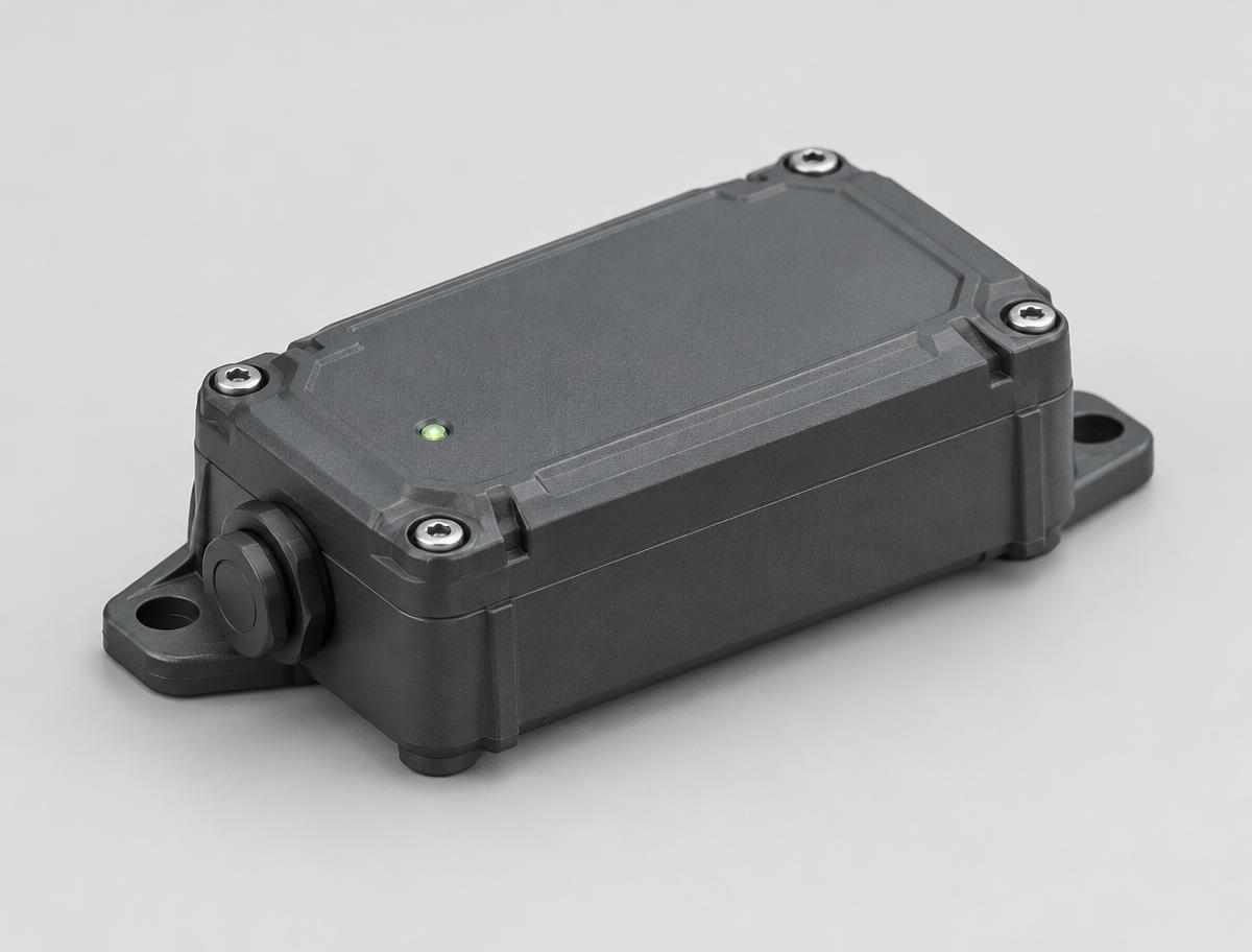
NTN-520
Industrial Satellite Asset Tracker
Ruggedized asset tracker with LTE cellular and NTN satellite connectivity for global asset tracking.
LTENTNBLE
EMS-170
Infrared forward-scatter visibility sensor reporting meteorological optical range from 5 m up to 80 km.
01Overview
This visibility sensor uses infrared forward-scatter measurement at a 35° angle to report meteorological optical range in fog, snow and mixed precipitation. Ranges of 5 to 10,000 m, 5 to 50,000 m or 5 to 80,000 m are available with ±10% accuracy and 1 m resolution, updated every 20 seconds. The downward-facing optics sit behind a protective cover that keeps out precipitation, droplets and dust, reducing contamination and maintenance, while overvoltage and electromagnetic protection support safe long-term operation. Data is output over RS485 or Wi-Fi, and the sensor operates from -40 to +60 °C.
02Key Features
Proven 35° infrared forward-scatter design reports meteorological optical range.
Downward-facing lens behind a cover keeps rain, droplets and dust off the optics.
High-speed sampling keeps readings accurate in mixed weather such as rain and hail.
Overvoltage and electromagnetic protection for safe, long-term operation.
Choose 10 km, 50 km or 80 km maximum range.
03Technical Specifications
Overview
Performance
Power and Environment
04Applications
Road and highway fog warning
Port and harbour operations
Wind farm monitoring
Automatic weather stations
Industries
06Related products
Asset TrackingFeaturedNTN-520
Ruggedized asset tracker with LTE cellular and NTN satellite connectivity for global asset tracking.
WST-110
All-in-one ultrasonic weather station measuring wind, rain, temperature, humidity, pressure, noise and air quality with no moving parts.
PTR-311
Rechargeable LoRaWAN badge that tracks staff location through Bluetooth beacons and sends an SOS alert at the press of a button.